Polar Vortex El Niño Winter Weather: the Earliest Vortex Breakdown on Record Meets a Historic El Niño
The polar vortex has broken down earlier than ever recorded, at the same moment a historically strong El Niño is pushing the other way. Scientists say the first taste of winter arrives this week — and Austin's own forecast shows why neither force has won yet.
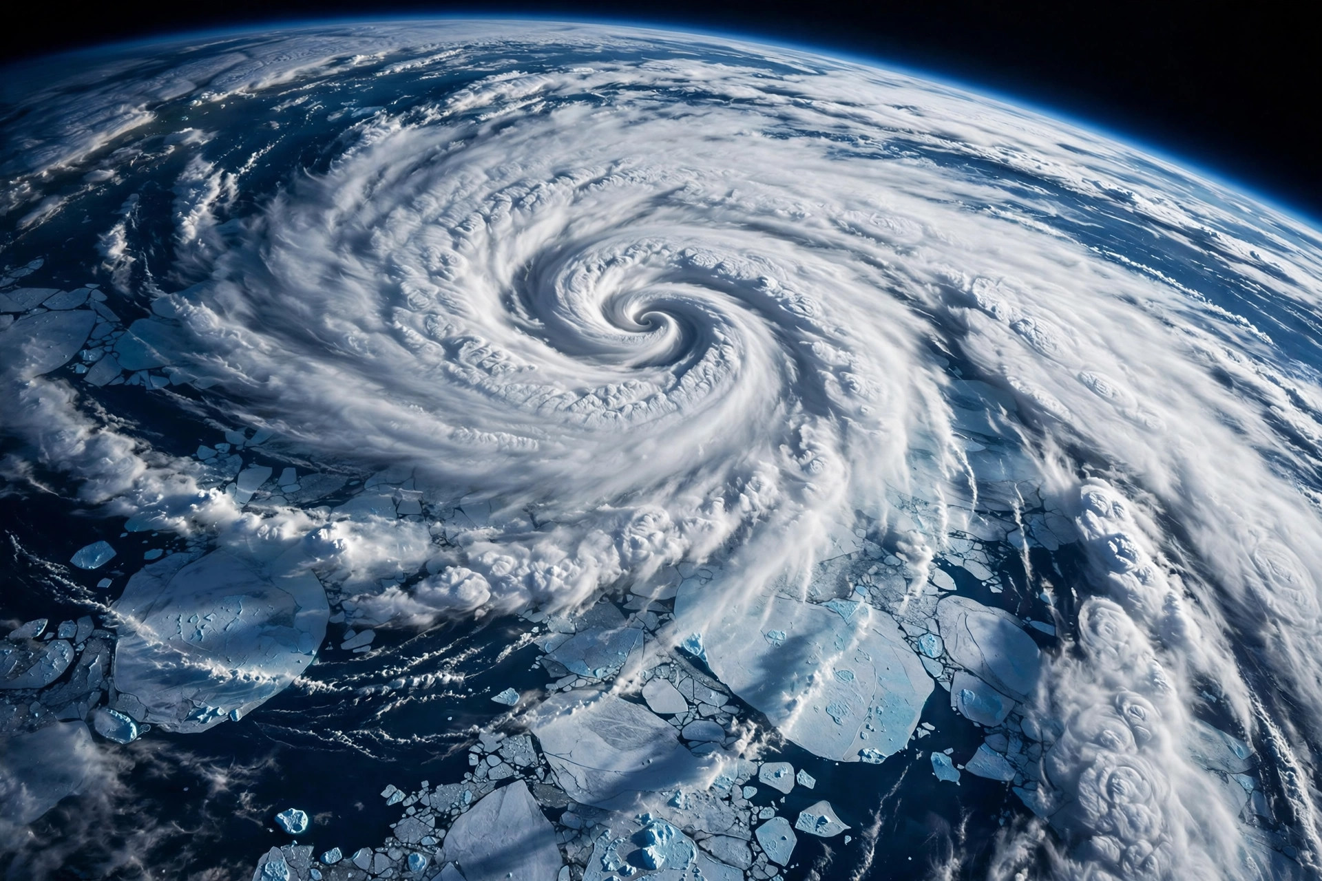
High above the Arctic, the polar vortex has broken down earlier than ever recorded — a phenomenon that can trigger blasts of cold weather across the Northern Hemisphere — while a historically strong El Niño, which typically drives warmer temperatures, pushes in the opposite direction. CNN, which framed the season as "polar vortex versus El Niño," reported Thursday that the air in the stratosphere is warming dramatically in a major sudden stratospheric warming event, in which the vortex's winds reverse and Arctic air can spill south in the days and weeks that follow.

The timing is what makes this event without precedent. "As far as we know, this is the earliest stratospheric vortex disruption that has been observed," European Centre for Medium-Range Weather Forecasts principal scientists Tim Stockdale and Frederic Vitart told AFP. Major stratospheric warming events typically occur between January and March; the previous earliest happened on November 28, in both 1968 and 2025, and a November event has been recorded only three times since the 1950s — 1958, 1968 and 2025, all on Nov. 28. MIT climatologist Judah Cohen explained to AFP that large atmospheric waves surging upward can trigger the warming, which "really increases the chance of cold air outbreaks" across the United States, Europe and East Asia. The first taste arrives this week: a blast of Arctic air spilled over North America and Europe on Wednesday and will last into the weekend, with peak cold on Thursday or Friday for most places, CNN reported.
Which force wins is genuinely unsettled. El Niño is "the big bully pushing the atmosphere in a certain direction," University of Wisconsin-Madison meteorologist Andrea Lopez Lang told CNN, and NOAA research physicist Amy Butler told CNN that the feature that stands out over the next month is the higher chance of warm temperatures over the northern half of the United States, likely related to El Niño. Britain's Met Office spokesperson Grahame Madge told AFP the disruption's earliness may itself have been triggered by the amplitude of the El Niño event — and that because it comes so early, Arctic air in places like Siberia is "not as cold yet as they will be," which could make any outbreaks less severe. The vortex is also expected to strengthen again quickly after this event, CNN reported.
For Austin, the honest check is the station's own live forecast, and it shows no cold blast at all: Thursday is sunny at 78.9 degrees after a 55.4-degree start, Friday reaches 77.1, and the weekend turns cooler and wetter for a different reason — drizzle chances of 22 percent Saturday at 66.6 degrees and 58 percent Sunday at 68. Whatever the vortex and El Niño settle between them will play out first across the northern half of the country; the desk will watch the late-November window, when the downstream effects of a stratospheric disruption typically reach the surface, before it writes a Texas cold story.