Austin Weather Late Sunday: Rain Holds Into Monday With a Low Flood Risk, Then Near 80 by Wednesday
Sunday's rain is not done with Austin. The station feed now puts Monday's rain chance at 68 percent, the National Weather Service flags a low risk of isolated flooding into Monday with 1 to 4 inches possible where rain repeats — and the same week still ends near 80 on Wednesday.
Austin closed Sunday the way it spent it: grey, cool and wet. The station's live Open-Meteo feed, read late Sunday night, puts the city at 59.4 degrees under overcast skies after a Sunday high of 63.5, with the day's rain chance having stood at 80 percent. The bigger change since the desk's evening file is Monday: the feed has raised Monday's rain probability from 53 percent to 68 percent and firmed the day up as outright rain, with a high of 65.2 and a low of 58.1.

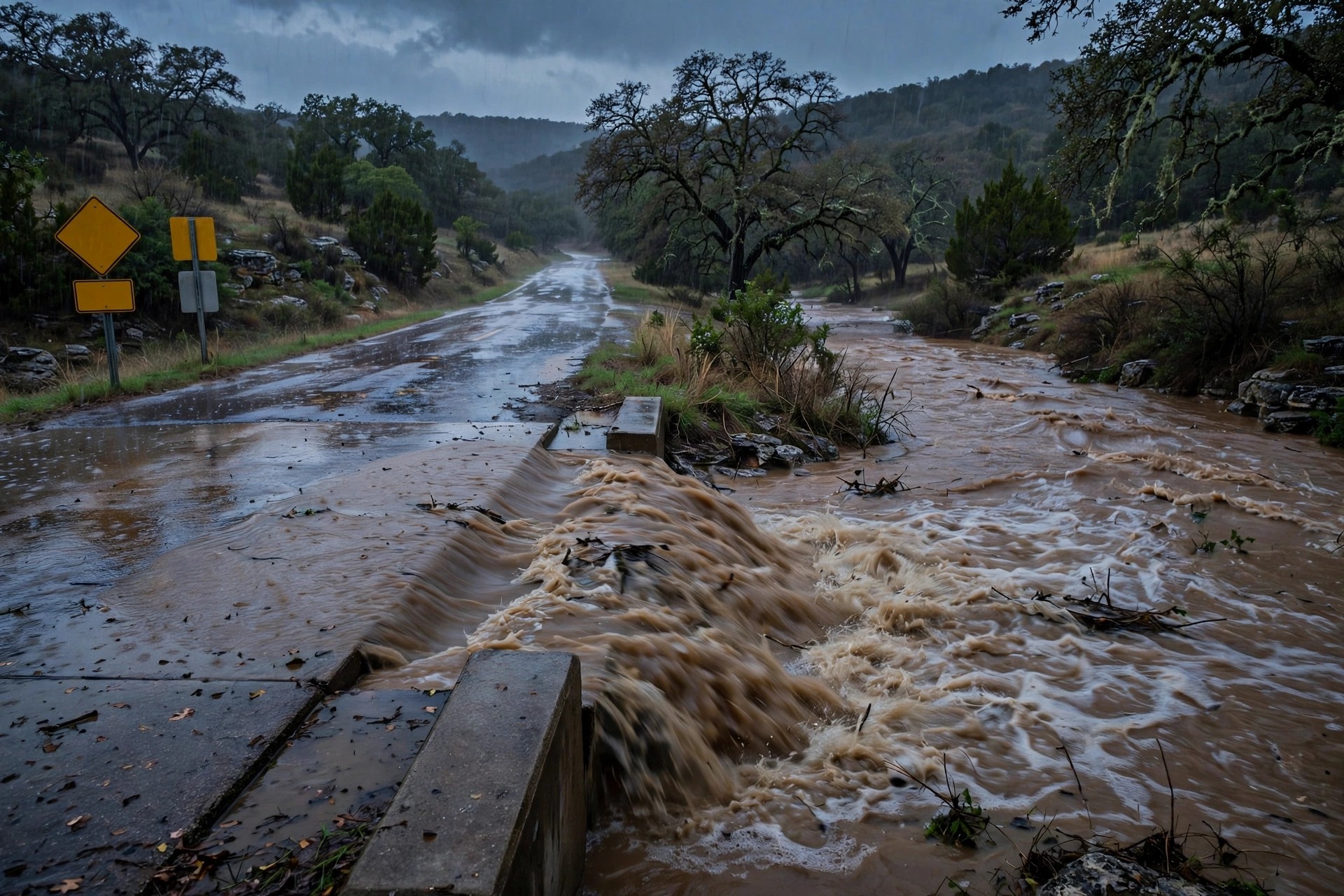
The National Weather Service's Austin/San Antonio office struck the same note in its evening discussion: wet, dreary and cool weather continues through Monday, with embedded heavier rain at times and a low risk of isolated flooding. The Weather Prediction Center highlights a level 1-to-2 flood risk across most of the region into Monday, and forecast guidance points to widespread rainfall totals of 1 to 4 inches, with isolated pockets up to 6 inches where heavier cells train over the same ground. FOX 7's Sunday file put 1 to 3 inches southwest of Austin, with minor street-flooding hazards in the Hill Country and the wettest weather concentrated south of the city.
The practical read for Monday morning is standing water on low crossings and a slow, wet commute rather than a severe-weather day: the risk the forecasters name is isolated flooding in the usual low-lying spots west and south of Austin, not a citywide event. Drivers who know a crossing that ponds should simply not test it Monday.
Then the week flips. Tuesday turns overcast and milder at 69.9 with the rain chance down to 10 percent, and Wednesday reaches 79.6 — a near-80, dry day in the middle of November, with Thursday close behind at 78.4. Friday cools to a clear 67.3. Austin's week runs from flood watch to short sleeves in four days, and the turn begins as soon as Monday's rain moves out.